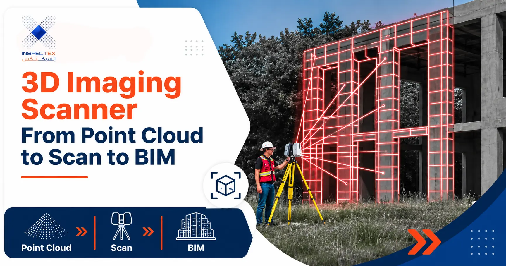
A new partition reaches an old corridor, and suddenly the drawing no longer fits. The ceiling is lower than expected, the wall bends slightly, and a service pipe takes up valuable space. A 3d imaging scanner captures visible surroundings as measurable digital evidence, helping teams plan with fewer assumptions. To make these decisions easier to understand, Inspectex has prepared this practical guide.
What a 3D Laser Scanner Captures More Efficiently Than Manual Measurements
One measured room can contain far more useful detail than a few marked dimensions. The instrument records the positions of many visible surface points, making it easier to understand irregular spaces and compare existing conditions with proposed designs.
Dense Geometry, Shared Coordinates and Measured Uncertainty
During 3d laser scanning, the instrument measures distances and directions to surfaces. Software converts these observations into a three-dimensional collection of points. With suitable equipment and conditions, scans can contain millions of points, revealing wall profiles, ceiling levels and exposed pipe routes.
A tape captures selected lengths; a traditional total station measures chosen positions very precisely. Both remain valuable for control and checks. Scanning adds dense surface coverage, but shadows, glass and hidden spaces can leave gaps. A building inspection addresses conditions and defects, which geometry alone cannot establish.
Tripod, Mobile and Handheld Scanning Compared
Tripod-based systems generally suit detailed, controlled capture. Mobile systems cover routes efficiently while moving, although drift and positioning conditions require attention. Handheld systems offer access in tight spaces; some are mobile systems themselves. Selection depends on access, required accuracy and the intended output.
The Point Cloud Survey Workflow, From Site to Delivery
Reliable digital drawings start before the first measurement. A 3d imaging scanner needs a capture plan covering rooms, access restrictions, reference points and places where equipment might block the view.
Targets, Registration and Survey Control
Survey teams place targets where useful and establish reference coordinates when the project requires them. Overlapping scans are aligned through targets, matching surfaces or both. Independent control checks help reveal registration errors rather than allowing them to spread across the building.
Cleaning, Decimation and Coordinate Alignment
Processing removes stray points, checks alignment and reduces unnecessary data without erasing important edges. Teams document any gaps and preserve an original dataset. The final cloud should use agreed coordinates and units so it lines up with architectural and engineering files. Quality review should include checks at doors, stairs and narrow passages, where small missing areas can become important during design.
File Formats Consultants Can Open
E57 is a standard exchange format for three-dimensional imaging data. LAS and LAZ are other common point-cloud formats, while XYZ can be useful for straightforward coordinate exports. Native project files may also be needed. Confirm software compatibility, units, coordinate reference and whether photographs or sections are included. A scan dataset is different from an inspection report that explains a building’s physical condition.
Scan to BIM: Turning Captured Reality Into a Usable Model
A cloud tells you where visible surfaces were recorded; a model gives those surfaces organized building meaning. The scan to BIM workflow turns selected observations into digital elements such as walls, floors and exposed services. A 3d imaging scanner supplies measurements, but people still interpret them.
Levels of Development and Their Uses
Level of Development, or LOD, describes how reliably model elements are defined for a stated purpose. A lower level can support broad planning; more developed elements may support coordination or detailed work. LOD does not automatically certify dimensional accuracy. Agree which elements require modeling and which can remain as cloud data.
Agreeing Tolerances Before Capture
Set acceptable differences between measured surfaces and modeled elements before work starts. Specify challenging areas, control requirements and how results will be checked. A neat-looking model can still contain assumptions, particularly where walls conceal pipes or structural details.
Where Measured Surveys Deliver the Greatest Value
The strongest results come when the recorded geometry answers a specific project question. A 3D building survey can reduce uncertainty, but its value depends on what the client intends to design, verify or maintain.
Refurbishment and Fit-Out in Occupied Buildings
Existing offices and shops often have incomplete drawings or modifications made over time. Accurate visible dimensions help designers plan partitions, equipment and access routes. For a wider view of an asset, commercial property inspection can address physical condition separately from spatial measurement.
Clash Checks Against Existing MEP Routes
Visible ducts, pipes and cable trays can be compared with a proposed model to identify potential space conflicts. Concealed routes cannot be confirmed from surface scanning alone. Other evidence or targeted testing may be necessary before construction.
Heritage and Irregular Geometry
Old buildings may contain leaning walls, curved surfaces and unusual details that conventional drawings simplify. Laser-based capture supports detailed records for repair planning and conservation, provided access and capture quality are suitable.
Change and Deformation Monitoring
Repeat scans can highlight possible movement when taken against stable control and comparable conditions. Differences smaller than the survey’s demonstrated uncertainty should not be treated as proven movement. Results may inform a wider property condition assessment, but interpretation requires relevant engineering judgment.
How to Question an Accuracy Claim
A quoted number is useful only when you know what it describes. When a 3d imaging scanner is advertised as accurate to a few millimetres, ask whether that figure refers to instrument performance, registration, relative dimensions or absolute coordinates.
Request test results at representative distances, independent checkpoints, stated confidence or tolerance rules and a record of inaccessible areas. Ask who checked the final deliverable and whether the reported tolerance covers the entire dataset or only selected checkpoints. Point spacing is not the same as accuracy. Shiny surfaces, long distances, movement and poor overlap can affect results. No single accuracy figure fits every building.
Budgeting a Scan: What Determines Cost and Duration
The lowest quote may leave out the data you actually need. The cost of a 3d imaging scanner survey depends on floor area, number of rooms, access windows, site complexity, required detail and output formats.
Time also includes site preparation, capture, registration, checking and possibly BIM modeling. An occupied property may need several visits. A 3D building survey producing a basic cloud is not priced or scheduled like one requiring detailed modeled services. Ask for separate allowances for fieldwork, processing, modeling and revisions instead of assuming a universal price or duration.
Frequently Asked Questions About 3D Scanning Surveys
What Is a Point Cloud Survey?
It records many measured three-dimensional points representing visible surfaces. The resulting dataset supports dimensions, sections, comparisons and modeling, subject to the survey’s accuracy and coverage.
How Accurate Is 3D Laser Scanning?
Accuracy varies by instrument, method, distance, control and environment. Some controlled surveys can achieve millimetre-level results, but that performance must be verified for the actual project.
How Does a Scan Become a BIM Model?
Specialists align the cloud, identify relevant building elements and create model objects from the measured evidence. They document assumptions and check the output against agreed tolerances.
How Long Does It Take to Scan a Building?
There is no fixed duration. Size, room access, clutter, scanning method and deliverable requirements affect both fieldwork and processing time.
Conclusion
Good building decisions start with knowing which measurements are reliable and which questions remain unanswered. Used with a clear brief, a 3d imaging scanner can give project teams a stronger picture of existing spaces. Inspectex shares this guidance to encourage informed planning and thoughtful use of digital survey data.