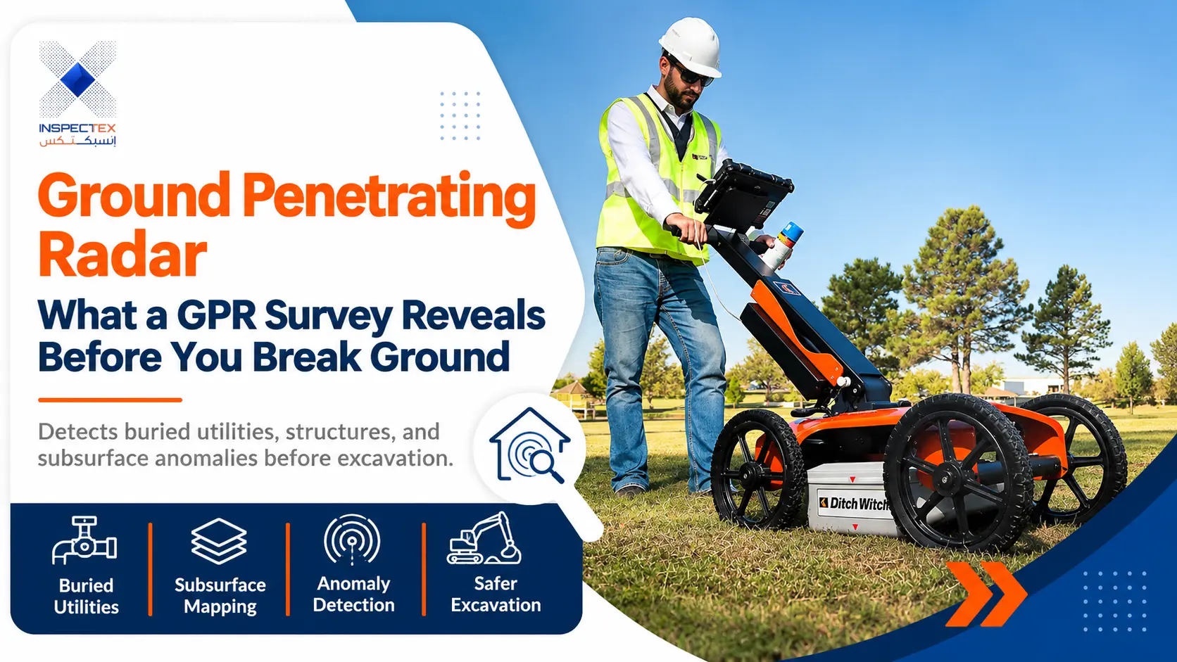
A drill reaches the slab. A trench line is marked. The drawings look complete, but one unanswered question remains: what is hidden beneath the surface? An unexpected cable, pipe, or reinforcement bar can turn a routine job into a serious setback. Ground Penetrating Radar helps project teams investigate those unknowns before work begins. It offers useful clues without opening the ground or damaging concrete, provided the results are interpreted carefully. Inspectex prepared this guide to make the technology, its benefits, and its limitations easier to understand.
How GPR Works and How It Differs From Other Methods
Every radar scan starts with a simple idea: send a brief electromagnetic pulse into a material and measure the echoes returning from changes within it. Software turns those reflections into profiles that trained specialists interpret. Ground penetrating radar shows contrasts, not labelled pictures of pipes or cables. A wider building inspection may consider many building systems, while radar answers a specific question about concealed features.
Antenna Frequency, Depth, and Detail
Higher-frequency antennas can reveal smaller, shallow objects but generally reach less deeply. Lower frequencies may investigate deeper layers while showing less detail. The best setting depends on the target size, expected depth, and material. No frequency guarantees a fixed detection range.
When Radar Helps Beyond Electromagnetic Locating
Electromagnetic locators work particularly well for tracing suitable conductive utilities. Radar can also reveal some nonmetallic pipes, disturbed ground, and buried boundaries. However, an electromagnetic locator may trace a known conductive line more clearly. Using both methods can improve coverage when site conditions permit.
What Can Ground Penetrating Radar Detect?
A strong reflection is a clue, not an automatic identification. Object size, depth, material, and surrounding conditions all affect whether a target appears clearly.
Reinforcement, Post-Tension Cables, and Conduits
Concrete scans can map many reinforcing bars, suggest their spacing, and estimate cover depth. They may also indicate post-tension tendons and embedded conduits. Similar targets can produce similar patterns, so drawings and specialist judgment are important. Cutting near a suspected tendon requires additional care.
Buried Utilities, Voids, and Backfill Changes
Below ground, radar may indicate metallic or plastic pipes, underground chambers, voids, or changes in trench backfill. A weak or missing reflection does not prove an area is clear. Small plastic services and objects shielded by metal are especially difficult to detect.
Slab Thickness, Suspected Delamination, and Moisture Changes
When the underside gives a clear reflection, radar can help estimate slab thickness. Certain signals may suggest voids, separation between layers, or moisture-related changes. These indications need careful checking: radar cannot reliably identify a leak’s source or confirm every delamination by itself.
GPR Concrete Scanning Before Coring, Cutting, and Anchoring
Even a small opening can cross hidden reinforcement or services. GPR concrete scanning is most useful when the scanning area extends beyond the planned hole, giving the operator room to trace nearby objects and propose safer positions.
Reducing Strikes on Services and Reinforcement
Before drilling, identify the planned location and depth, scan in more than one direction, and mark the detected paths. Treat unclear signals as potential hazards. Structural approval may still be required before altering reinforcement, and no scan can promise a completely hazard-free cutting zone.
Comparing Detected Reinforcement With Design Drawings
Mapped bar positions and estimated cover can be compared with available drawings to highlight differences. A structural inspector can use this information when deciding whether more investigation is needed. Radar alone cannot reliably prove steel grade, exact bar diameter, or full compliance with the design.
Utility Locating Survey on Busy, Active Sites
Crowded work areas bring multiple networks close together, sometimes with incomplete records. A utility locating survey should start with existing drawings, visible access covers, and discussions with the utility owners. The scanning plan should follow the proposed excavation route, not simply the easiest ground to reach.
Survey teams can combine radar and electromagnetic locating, trace likely routes, and mark uncertainty. Critical conflicts may require carefully controlled exposure before excavation. Under the ASCE 38-22 approach, surface geophysics can support Quality Level B information; precise Quality Level A confirmation normally requires exposing and measuring the utility.
Site Conditions That Reduce GPR Accuracy
Good equipment cannot overcome every ground condition. Understanding what weakens a signal is as important as recognizing a clear target.
Clay, Water Saturation, and Conductive Soil
Wet clay and saline ground absorb radar energy quickly, leaving little useful information at depth. Dry, sandy ground is often more favorable. Moisture changes can also alter calculated depths, so local calibration matters more than an advertised maximum range.
Restricted Access and Crowded Reinforcement
Walls, parked equipment, uneven surfaces, and narrow gaps can prevent complete coverage. Dense reinforcing steel may mask deeper objects, while nearby metal can create misleading reflections. When ground penetrating radar produces uncertain results, the report should identify the unscanned areas and recommend other ways to check them.
What a Reliable Radar Report Should Contain
The finished drawing should help someone make a safe decision, not merely display attractive scan images. A useful GPR survey records what was investigated, what was detected, and what remains uncertain.
Plans, Depth Estimates, and Confidence Levels
A clear inspection report should identify survey boundaries, scan direction, detected routes, surface markings, and estimated depths where supported. It should explain the assumed signal velocity, important limitations, and any locations needing confirmation. Confidence labels help readers distinguish strong evidence from tentative interpretation.
CAD Files and Alignment With Surveyed Point Clouds
Georeferenced findings can be transferred into CAD drawings for design coordination. Where a separate site survey or laser scan exists, those findings may also be aligned with a point cloud. Radar does not automatically create a complete three-dimensional model of everything below the surface.
The Cost of Skipping a Survey: Damage and Delay
A service strike can interrupt operations, expose workers to danger, trigger repairs, and delay a project. Damaging reinforcement or a post-tension tendon can have particularly serious consequences. A focused risk assessment should consider the proposed work, available records, possible hidden hazards, and practical controls.
Scanning lowers uncertainty but never eliminates responsibility for safe methods. Teams still need permits where required, utility coordination, suitable exclusion zones, and confirmation of high-risk conflicts. The cost of a survey is best judged against those site-specific risks, not a universal savings claim. For complex sites, agree in advance who will review the findings, approve changes to the proposed work area, and record remaining hazards before the first machine or drill is used.
Frequently Asked Questions About Subsurface Radar
What Is a Ground Penetrating Radar Survey?
It is a non-destructive method that sends radar pulses into the ground or concrete and records reflections. Specialists interpret changes in those signals to estimate the position of hidden objects or layers.
What Is GPR Scanning Used For?
Common applications include locating buried services, mapping reinforcement, investigating possible voids, and estimating layer thickness. The method helps plan drilling and excavation, but ambiguous results may need confirmation.
How Deep Can GPR See?
There is no universal depth. Frequency, target size, soil conductivity, and moisture control penetration. In highly conductive ground, useful readings may be shallow; favorable conditions can allow considerably deeper investigation.
Does Radar Replace Trial Pits and As-Built Records?
No. Records provide context, radar offers additional evidence, and carefully planned trial pits can confirm critical utility locations. These methods work best together, particularly where damaging a hidden service would create serious risk.
Conclusion
What lies unseen should not become an avoidable surprise on site. Ground penetrating radar can make planning more informed, provided its findings are checked against real conditions and its limits remain visible. Inspectex shares this knowledge to help owners and project teams ask better questions before cutting, drilling, or excavating.